Gas discovery in the Norwegian Sea

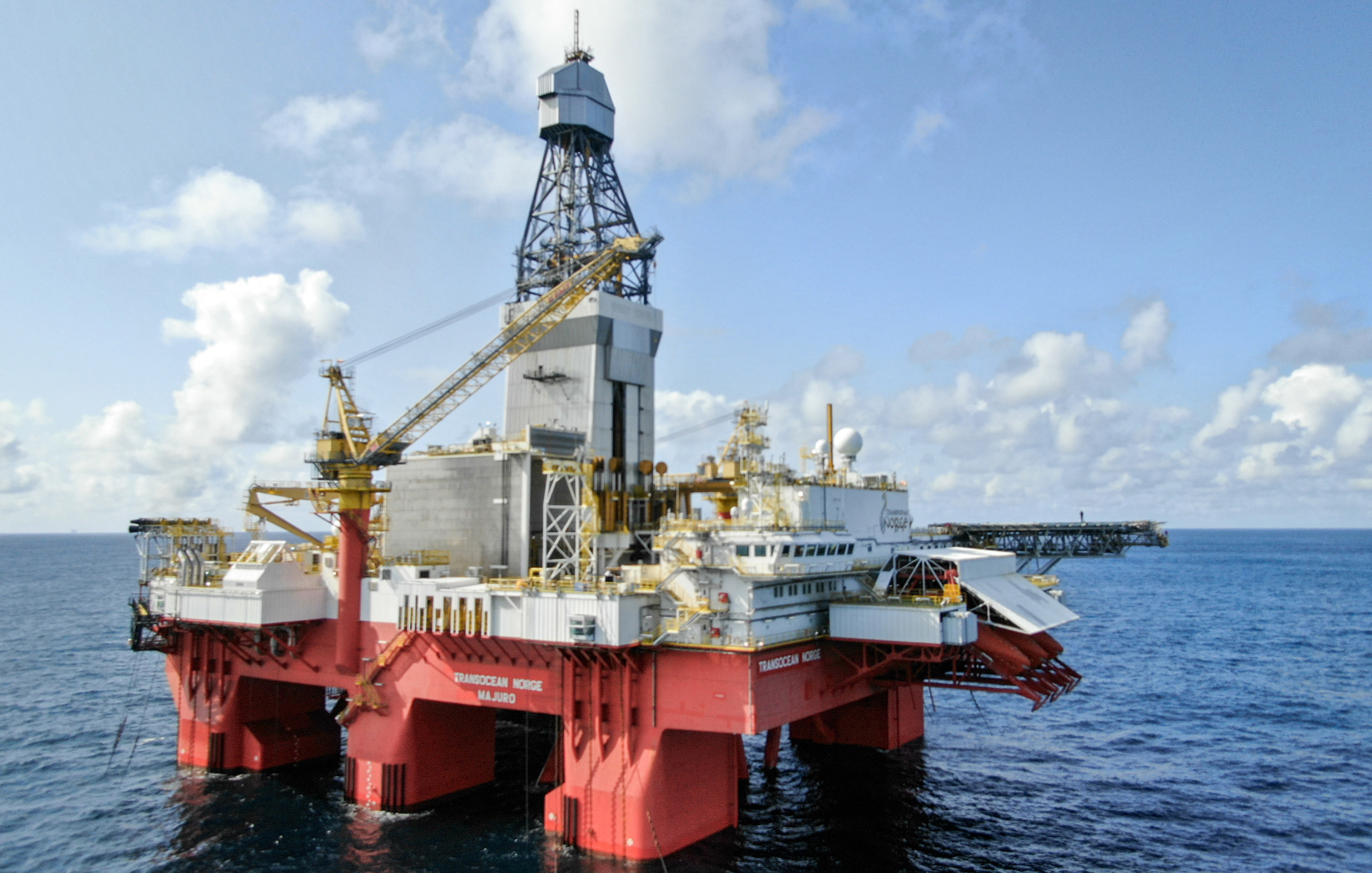
The Transocean Norge rig drilled the well. (Photo: Transoecean)
8/23/2024 OMV and its partners have discovered gas in wildcat well 6605/6-1 S in the Norwegian Sea.
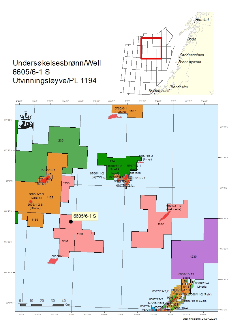
The Transocean Norge rig drilled the well, which is the first to be drilled in production licence 1194. The discovery is located around 65 kilometres southwest of the Aasta Hansteen field and 310 kilometres west of Sandnessjøen.
Preliminary estimates place the size of the discovery in the primary exploration target between four and twelve million standard cubic metres (Sm3) of recoverable oil equivalent (o.e.).
Discoveries were also made in two other levels, where the size of the volumes is uncertain.
The licence was awarded in the Awards in predefined areas (APA) in 2022. The licensees, OMV (40 per cent), Vår Energi (30) and INPEX Idemitsu (30), will consider a potential future development.
Geological information
The primary exploration target for the well was to prove petroleum in Upper Cretaceous reservoir rocks in the Springar Formation, and secondarily in the Nise Formation, also in the Upper Cretaceous.
In the primary exploration target, the well encountered a gas column of around 20 metres, of which 13 metres was in sandstone reservoir rocks with moderate to good reservoir quality. The gas/water contact was not encountered. Preliminary estimates indicate that the size of the discovery in the Springar Formation is between 4-12 million Sm3 of recoverable o.e.
In addition to this, gas-filled sandstone layers totalling around 11 metres were encountered in the lower part of the Springar Formation. There is some uncertainty regarding the size of this discovery, but a preliminary estimate indicates between 0.5- 5 million Sm3 of recoverable o.e.
A gas column of around 5 metres was discovered in the secondary exploration target in the Nise Formation, in sandstone reservoir rocks with moderate reservoir quality. There is uncertainty linked to the size of the discovery, but preliminary estimates show between 0.5- 6 million Sm3 of recoverable o.e.
The well was not formation-tested, but extensive data acquisition and sampling have been carried out.
Well 6605/6-1 S was drilled to respective vertical and measured depths of 4641 and 5123 metres below sea level, and was terminated in the Nise Formation in the Upper Cretaceous.
Water depth at the site is 1064 metres. The well has been permanently plugged and abandoned.

Director Communication, public affairs and emergency response
Updated: 8/23/2024