Geophysical surveys
Seismic acquisition on the Norwegian shelf
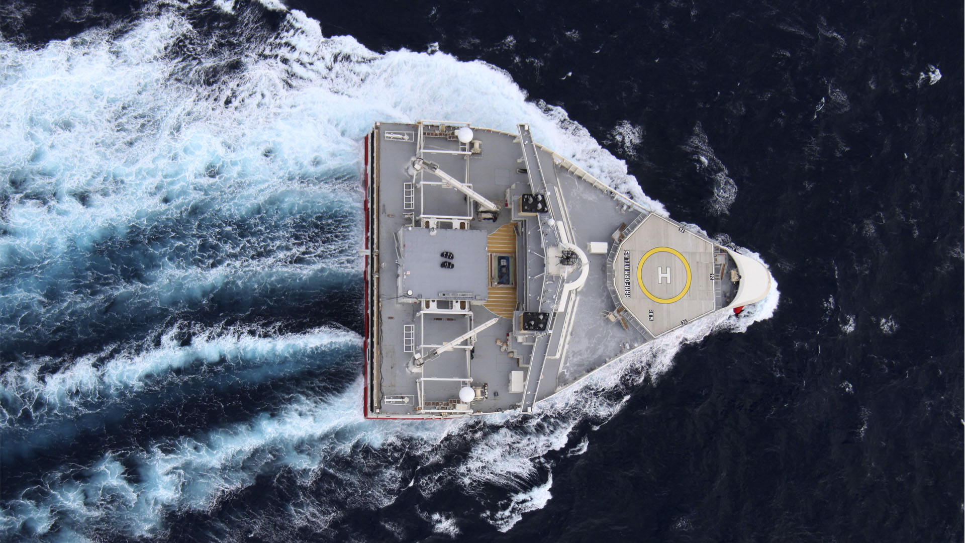
Seismic data acquisition is used to map potential petroleum resources in the subsurface. The seismic acquisition activity is mainly conducted by the oil and subsea seismic companies.

Historical collection of seismic data on the Norwegian shelf. The blue line shows how many kilometers the seismic vessel has sailed, while the green line shows collected 2D seismic in kilometers. Collection of 3D and 4D seismic is shown in square kilometers (km2), as red bars, and with a scale to the right.
Regulation seismic
More information
Updated: 1/14/2024