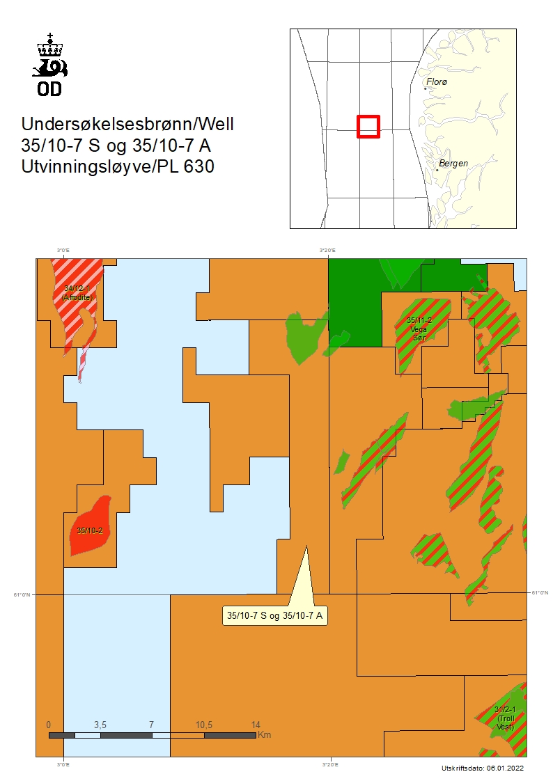
Oil discovery near the Fram field in the North Sea – 35/10-7 S and 35/10-7 A
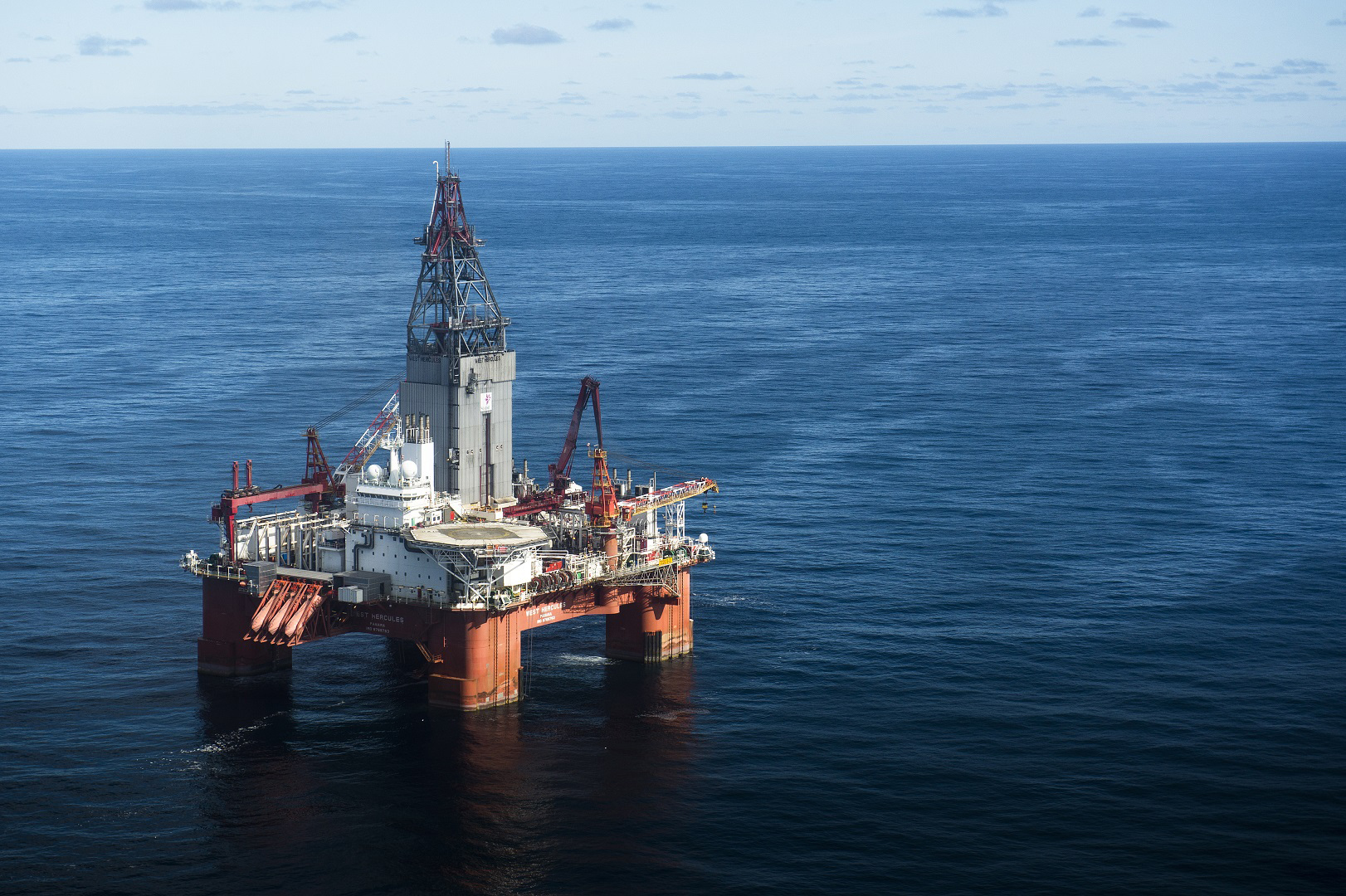
The wells were drilled by the West Hercules drilling facility. Photo: Ole Jørgen Bratland/Equinor.
1/7/2022 Equinor Energy AS, operator of production licence 630, has concluded the drilling of wildcat well 35/10-7 S and appraisal well 35/10-7 A.
Equinor Energy AS, operator of production licence 630, has concluded the drilling of wildcat well 35/10-7 S and appraisal well 35/10-7 A. The wells were drilled about 8 kilometres west of the Fram field and 140 kilometres northwest of Bergen.
The primary exploration target for well 35/10-7 S was to prove petroleum in Middle Jurassic reservoir rocks in the Etive Formation (the Brent Group). The secondary exploration target was to prove petroleum in Middle Jurassic reservoir rocks in the Oseberg Formation (the Brent Group) and Lower Jurassic reservoir rocks in the Cook Formation (the Dunlin Group).
The objective of appraisal well 35/10-7 A was to investigate the reservoir properties in the Brent Group, higher up on the structure, as well as to prove petroleum in the part of the Brent Group that was in the water zone in well 35/10-7 S.
Well 35/10-7 S encountered an oil column of about 75 metres in the Ness and Etive Formation, of which a total of 68 metres was sandstone with moderate to good reservoir properties.
The Oseberg Formation is water-filled and consists of about 48 metres of sandstone with moderate reservoir properties.
The Cook Formation is water-filled and consists of about 25 metres of sandstone with poor to moderate reservoir properties.
The oil/water contact was not encountered in the well; however, based on pressure data, the estimate is that it lies at a depth of about 3303 metres below sea level.
Well 35/10-7 A encountered 67 metres of sandstone with good to moderate reservoir quality, with an oil column of about 60 metres in the Ness and Etive Formation. This represents a shallower segment of the same oil column proven in well 35/10-7 S.
The Oseberg Formation has a total of 48 metres of sandstone of moderate reservoir quality, with an oil column of about 30 metres. The oil/water contact in the Oseberg Formation has been proven at 3290 metres below sea level.
Preliminary estimates place the size of the discovery between 3.3 – 5.2 million standard cubic metres (Sm3) of recoverable oil. The licensees will consider tying the discovery into existing infrastructure in the area.
The wells were not formation-tested, but extensive data acquisition and sampling have been carried out.
These are the fourth and fifth exploration wells in production licence 630, which was awarded in APA 2011.
Wells 35/10-7 S and 35/10-7 A were drilled to respective vertical depths of 3509 and 3370 metres below sea level, and respective measured depths of 3563 and 3574 metres below sea level.
The wells were terminated in the Dunlin Group from the Early Jurassic. Water depth at the site is 354 metres. The wells have been permanently plugged and abandoned.
The wells were drilled by the West Hercules drilling facility, which will now drill wildcat well 6407/9-13 in production licence 1060 in the Norwegian Sea, where Equinor Energy AS is the operator.
Director Communication, public affairs and emergency response
Updated: 1/7/2022