2021 programme
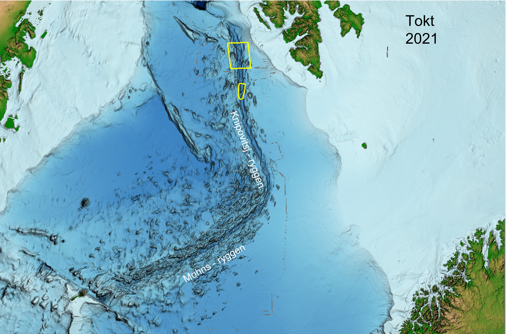
Detailed mapping was carried out of the seabed associated with northern and central areas of the Knipovich Ridge in the Norwegian Sea.
Contractor
Ocean Infinity MMT
Tool
AUV: 3 x Hugin 6000, 2 of which were in the water at the same time.
Sensors: MBES, SSS, SBP, SAS, Mag, SP, pH/ORP
ROV: Schilling WROV 150
Result
2,200 line kilometres of AUV data, 4 x ROV dives collecting geological samples.
Detailed map
Shows both the mapping area and collected data (in white).
Updated: 11/8/2021